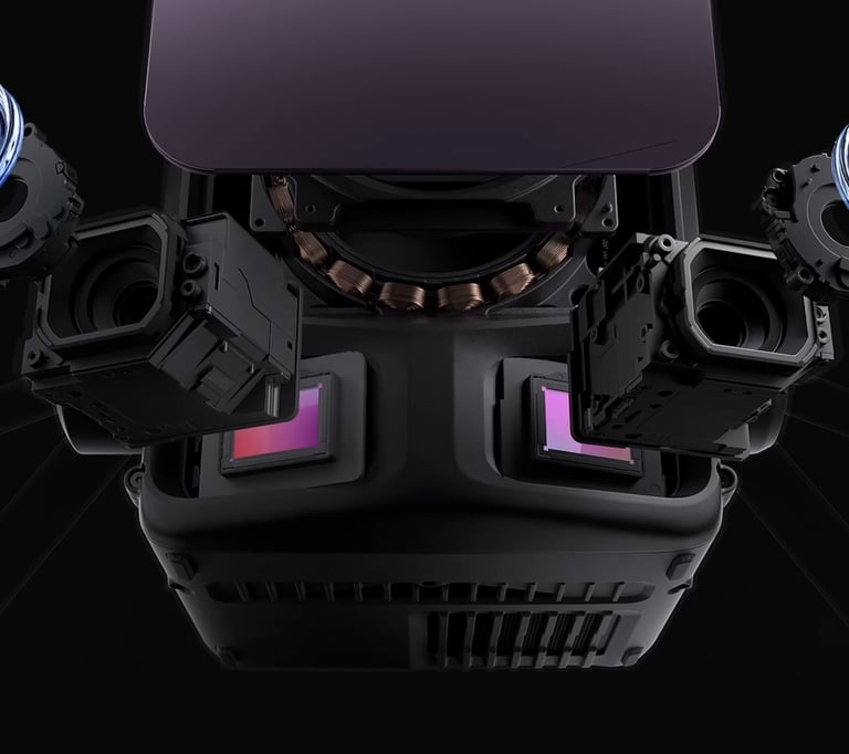
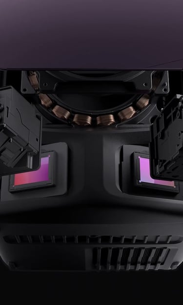
Zenmuse L3 LiDAR
Payload Rental
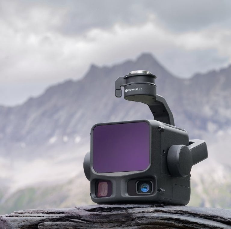
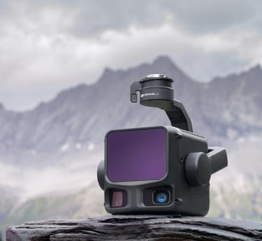
1535nm
100MP
Dual 100MP Cameras
1535 nm Wavelength
Drone Rental offers L3 LiDAR unit rental in Christchurch, providing high-accuracy, survey-grade LiDAR data capture for advanced mapping and terrain analysis projects across the South Island.
The L3 LiDAR system delivers dense, reliable point cloud data and performs exceptionally well in vegetated, complex, or low-light environments, making it ideal for topographic surveys, forestry analysis, volume calculations, corridor mapping, and infrastructure projects.
Hiring an L3 LiDAR unit from Drone Rental allows engineering firms, surveyors, councils, and contractors to access professional LiDAR technology on a short- or long-term basis, without the cost and maintenance burden of purchasing their own system.
LiDAR surveying & terrain modelling
Forestry & vegetation penetration
Stockpile & earthworks volumes
Flood modelling & river analysis
Infrastructure & corridor mapping
Common Use Cases
Drone Rental NZ
A Southern Drone Solutions Company
Phone
© 2025. All rights reserved.
info@dronerental.nz
Address
29 Kilmarnock St | Riccarton